Upper Tonto Creek
Payson, Arizona · USDA Forest Service
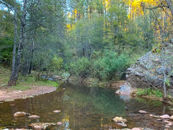
Photo: Recreation.gov
About
The Upper Tonto Creek is a small campground tucked away from the main highway where the Tonto and Horton Creeks merge. 6 Campsites are available for reservation only. This location is available only through reservation May 1through November 3rd. Campground map available here . This location is unstaffed. To speak with our main office for general information, please call: (928) 474-7900.This campground contains 6 campsites, 3 picnic sites, and a double vault toilet. The union of Tonto and Horton Creeks is at the north end of the Upper Tonto Creek campground. Fishing in both creeks is a popular sport. Families may enjoy fishing at both Tonto and Horton Creeks or pass time hiking through nearby Horton Creek Trail or Derrick Trail. Both of these trails access the Highline National Recreation Trail (#31).
Directions
This site is 17 miles northeast of Payson. From Payson, travel 16 miles east on State Hwy. 260. Just east of mile marker 268 at Kohl’s Ranch, turn left (north) on Forest Road (FR) 289. Travel one mile and turn right into the site.
Location
Map tiles © OpenStreetMap.
Details
- State
- Arizona
- City / area
- Payson
- Agency
- USDA Forest Service
- Parent area
- Tonto National Forest
- Campsites
- 6
- Reservable
- Yes
- Typical price
- $20 / night
- Rating
- 4.64 / 5 (14 reviews on Recreation.gov)
- Equipment
- See Recreation.gov
Nearby campgrounds
- Lower Tonto Creek 0.8 km away
- PONDEROSA (AZ) 4.9 km away
- CHRISTOPHER CREEK 6.5 km away
- Knoll Lake Campground 9.7 km away
- SHARP CREEK 9.9 km away
- MOGOLLON CAMPGROUND 12.8 km away