Ramhorn Springs Campground
Ravendale, California · Bureau of Land Management
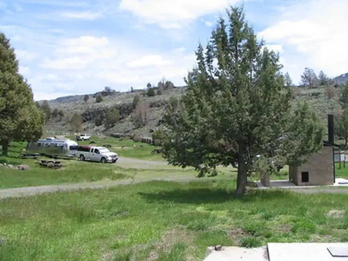
Photo: Recreation.gov
About
Ramhorn Springs is a small water source located in a high desert setting that has been utilized by travelers and ranchers for many years. A 10 unit campground has been constructed adjacent to it. The facilities include an informational kiosk, picnic tables, fire rings, trash cans, a horse corral and one vault toilet. The surface in the campground is packed earth and gravel. There is no potable water. There is no fee for the use of the campground but a donation is requested to assist with the routine maintenance costs. There is not much shade in the campground, therefore the most enjoyable time to visit this campground is during the cooler months of the year. Campground is open all year, however, access is limited during wet weather. See more photos of the Ramhorn Springs Campground.
Directions
From Susanville: Travel north on U. S. Highway 395 approximately 45 miles. The access road is approximately 2.4 miles north of the California Department of Transportation Roadside Rest Area. Turn east (right) onto BLM Road 26000. Travel approximately 2.5 miles. The campground will be adjacent to the road on your left. BLM Road 26000 is an unimproved dirt road that can become impassable as a result of wet weather. The road is passable by vehicles pulling trailers but can be rough and dusty.
Location
Map tiles © OpenStreetMap.
Details
- State
- California
- City / area
- Ravendale
- Agency
- Bureau of Land Management
- Parent area
- —
- Campsites
- —
- Reservable
- No / see Recreation.gov
- Typical price
- See Recreation.gov
- Equipment
- See Recreation.gov
Nearby campgrounds
- Dodge Reservoir Campground 31.0 km away
- Aspen Grove Campground (CA) 47.1 km away
- WEST EAGLE CAMPGROUND 47.9 km away
- EAGLE CAMPGROUND 48.0 km away · dump mentioned
- Blue Lake Campground Group Site - Modoc NF (CA) 48.3 km away
- MERRILL CAMPGROUND 50.3 km away · dump mentioned