Shasta Campground
Redding, California · Bureau of Land Management
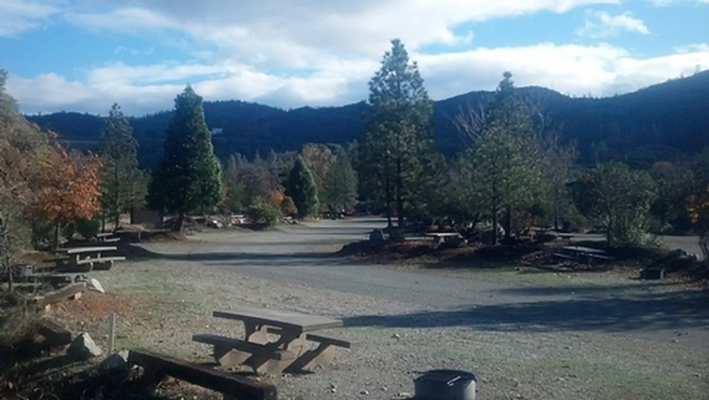
Photo: Recreation.gov
About
Camp in one of 27 tent/trailer campsites near the Chappie-Shasta Off-Highway Vehicle (OHV) area. The Chappie-Shasta OHV area offers over 200 miles of roads and trails on approximately 52,000 acres for off-road enthusiasts. Elevation within this area ranges from 600 to 5000 feet with a wide variety of topography, soil, and vegetation types. The southeastern portions offer rocky and challenging terrain, while the more remote northwestern portions offer scenic views of Mt. Shasta, Lake Shasta, and the Trinity Alps.
Directions
Along Keswick Reservoir, below Shasta Dam. Take I-5 north from Redding about 10 miles to Shasta Dam Blvd. Follow Shasta Dam Blvd. to Shasta Dam (dam hours are 6AM to 10PM), cross the dam, turn left and follow the road about 2 miles down to the campground and staging area. To cross Shasta Dam you must show a valid driver's license, vehicle registration, and your vehicle and trailer may be subject to inspection.
Location
Map tiles © OpenStreetMap.
Details
- State
- California
- City / area
- Redding
- Agency
- Bureau of Land Management
- Parent area
- —
- Campsites
- —
- Reservable
- No / see Recreation.gov
- Typical price
- See Recreation.gov
- Equipment
- See Recreation.gov
Nearby campgrounds
- Shasta Campground 0.0 km away
- Ohl Olsen Group Campground 0.4 km away
- Whiskey Creek Group Picnic Area (Whiskeytown NRA) 12.2 km away
- Beehive Dispersed Area (CA) 15.4 km away
- DRY CREEK GROUP CAMPGROUND (Whiskeytown NRA) 15.6 km away
- MARINERS POINT GROUP CAMPGROUND 16.0 km away