Ponderosa Campground (CO)
Gunnison, Colorado · National Park Service
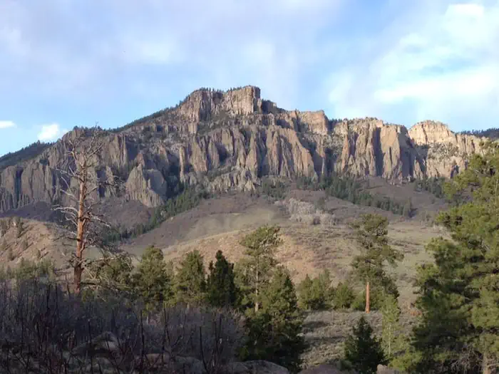
Photo: Recreation.gov
About
Ponderosa Campground is located at the northwest end of the Soap Creek Arm of Blue Mesa Reservoir at 7880 feet (2402 m). The campground offers outstanding views and solitude. Note: During dry conditions, the first 7 miles (11 km) of Soap Creek Road are passable to trailers and RVs. Rain can make the Soap Creek Road impassable. Trash/recycling collection provided. Vault toilets only. Horse Corral in upper loop.
Directions
From U.S. Highway 50, turn onto CO Highway 92. In less than 1 mile (1.6 km) you will cross over the Blue Mesa Dam. Approximately one half (.5) mile after crossing the dam, turn right on Soap Creek Road (a gravel road also known as County Road 721 and/or Blue Mesa Drive). Proceed 7 miles (18 km) north on Soap Creek Road to reach the campground.
Location
Map tiles © OpenStreetMap.
Details
- State
- Colorado
- City / area
- Gunnison
- Agency
- National Park Service
- Parent area
- Curecanti National Recreation Area
- Campsites
- 29
- Reservable
- Yes
- Typical price
- $20 / night
- Equipment
- See Recreation.gov
Nearby campgrounds
- Soap Creek 2.5 km away
- LAKE FORK CAMPGROUND 7.5 km away
- RED CREEK GROUP SITE 7.9 km away
- EAST ELK CREEK GROUP CAMPSITE 13.2 km away
- ELK CREEK CAMPGROUND 13.7 km away
- STEVENS CREEK CAMPGROUND 19.4 km away