Middle St. Croix
Rock Creek, Minnesota · National Park Service
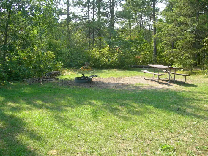
Photo: Recreation.gov
About
57, primitive, Leave No Trace campsites are located on the St. Croix River from Riverside Landing to Highway 8 at St. Croix Falls - Taylors Falls. All sites are free. No permit required. Camp only in designated sites marked with brown camping sign and metal fire ring. Sites are available first-come, first-served.
Directions
Middle St. Croix directions and information are available at https://www.nps.gov/sacn/planyourvisit/middlestcroix.htm .
Location
Map tiles © OpenStreetMap.
Details
- State
- Minnesota
- City / area
- Rock Creek
- Agency
- National Park Service
- Parent area
- Saint Croix National Scenic Riverway
- Campsites
- —
- Reservable
- No / see Recreation.gov
- Typical price
- See Recreation.gov
- Equipment
- See Recreation.gov
Nearby campgrounds
- Lower St. Croix District 57.9 km away
- Namekagon District 76.2 km away
- HIGHLAND RIDGE 108.6 km away · dump mentioned
- MAIN DAY USE 109.9 km away
- SANDY LAKE 120.4 km away · dump mentioned
- TWO LAKES 135.5 km away · dump mentioned