Castle Rock Campground
Prineville, Oregon · Bureau of Land Management
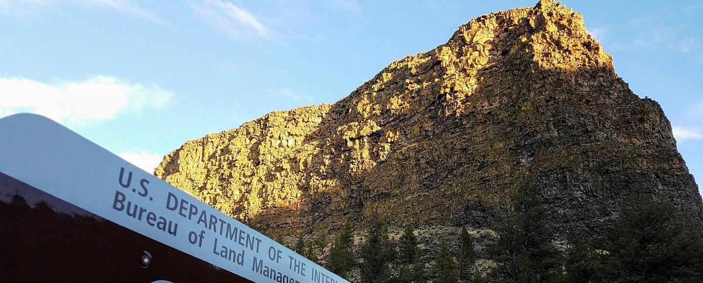
Photo: Recreation.gov
About
Located south of Prineville, Oregon, this six-site campground offers year-round camping and Crooked River access along the Lower Crooked Back Country Byway. Castle Rock looms above its namesake campground on the Chimney Rock section of the Crooked Wild and Scenic River. An ADA-accessible vault toilet is onsite. Know Before You Go Open year-round on a first-come, first-served basis; no potable water available. Cell phone service is not available in the campground. Watch for bicyclists: the section of State Highway 27 between Prineville and Bowman dam is a state scenic bikeway Point of Interest Castle Rock Campground is the first in a series of twelve Bureau of Land Management recreation sites along the Crooked Wild and Scenic River, south of Prineville, Oregon. Eight additional campgrounds, two day-use areas and a trailhead offer ample access to camping, fishing, hiking and photography.
Directions
From Prineville, Oregon: Drive 12.4 miles south on State Highway 27; the campground will be on your right.
Location
Map tiles © OpenStreetMap.
Details
- State
- Oregon
- City / area
- Prineville
- Agency
- Bureau of Land Management
- Parent area
- Crooked Wild and Scenic River
- Campsites
- —
- Reservable
- No / see Recreation.gov
- Typical price
- See Recreation.gov
- Equipment
- See Recreation.gov
Nearby campgrounds
- Stillwater Campground 1.5 km away
- Chimney Rock Campground 3.0 km away
- OCHOCO RANGER RENTAL 42.0 km away
- OCHOCO FOREST CAMP 42.0 km away
- HAYSTACK CAMPGROUND (EAST SHORE) 44.7 km away
- SOUTH SHORE GROUP SITES 44.8 km away